Price search results for Exploring Nhs White Mountains Map
⇑ click on img to enlarge
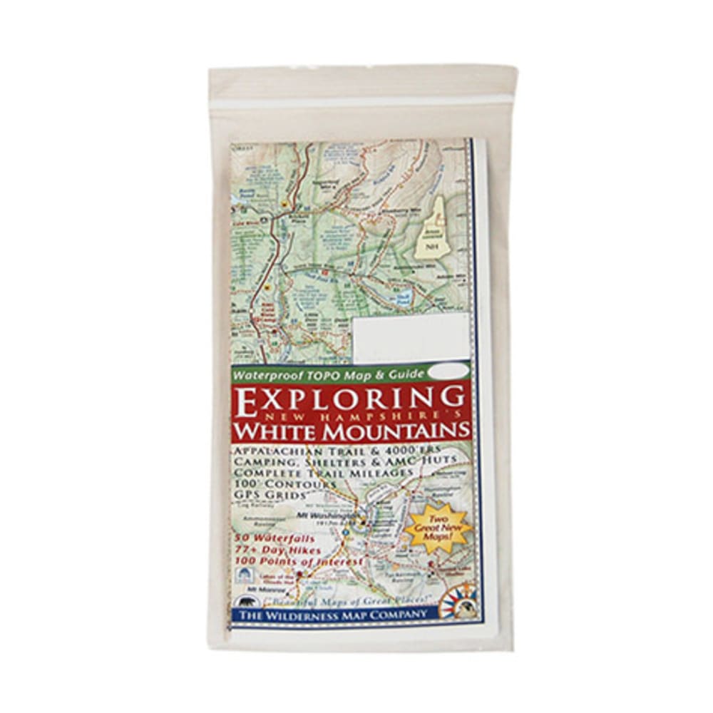
Exploring Nh's White Mountains Map
With This Detailed, Easy-to-read Map In Your Pack, You'll Be Able To Enjoy More Than 70 Day Hikes, 50 Waterfalls, And 100 Points Of Interest Throughout The Beautiful White Mountains Of New Hampshire. Double-sided Map Shows The “white Mountain Trail” Region On One Side And The Presidential Range – Wild River On The Other. White Mountain Trail Region Side:~ Details Everything Between Franconia And Conway~ Scale: 1:100,000 (1 In. = 1.6 Mi. = 2.5 Km)~ Includes Hiking/trip Planning Tips And The “hiker Responsibility Code”. Presidential Range – Wild River Side:~ Scale: 1:62,500 (1 In. = 1 Mi. = 1.6 Km)~ Includes Hiking Safety Tips. Includes Picnic Areas, Viewpoints, Amc Huts, Camping Areas And Shelters, Covered Bridges, Trout Fishing Areas, Shuttle Stops, And More. Features 100 Ft. Contours, Complete Trail Mileages, And Gps Grids. Printed On Coated Paper. 9 X 4 In. Folded / 24 X 18 In. Unfolded
Add to Shopping List
Exploring Nh's White Mountains Map Prices
The best price found is $7.95 from Eastern Mountain Sports.
| Where to buy | Price | Visit Store |
|---|---|---|
|
|
$7.95 | Visit Store |