Price search results for National Geographic Appalachian Trail Mount Carlo To Pleasant Pond Topographic Map Guide

⇑ click on img to enlarge
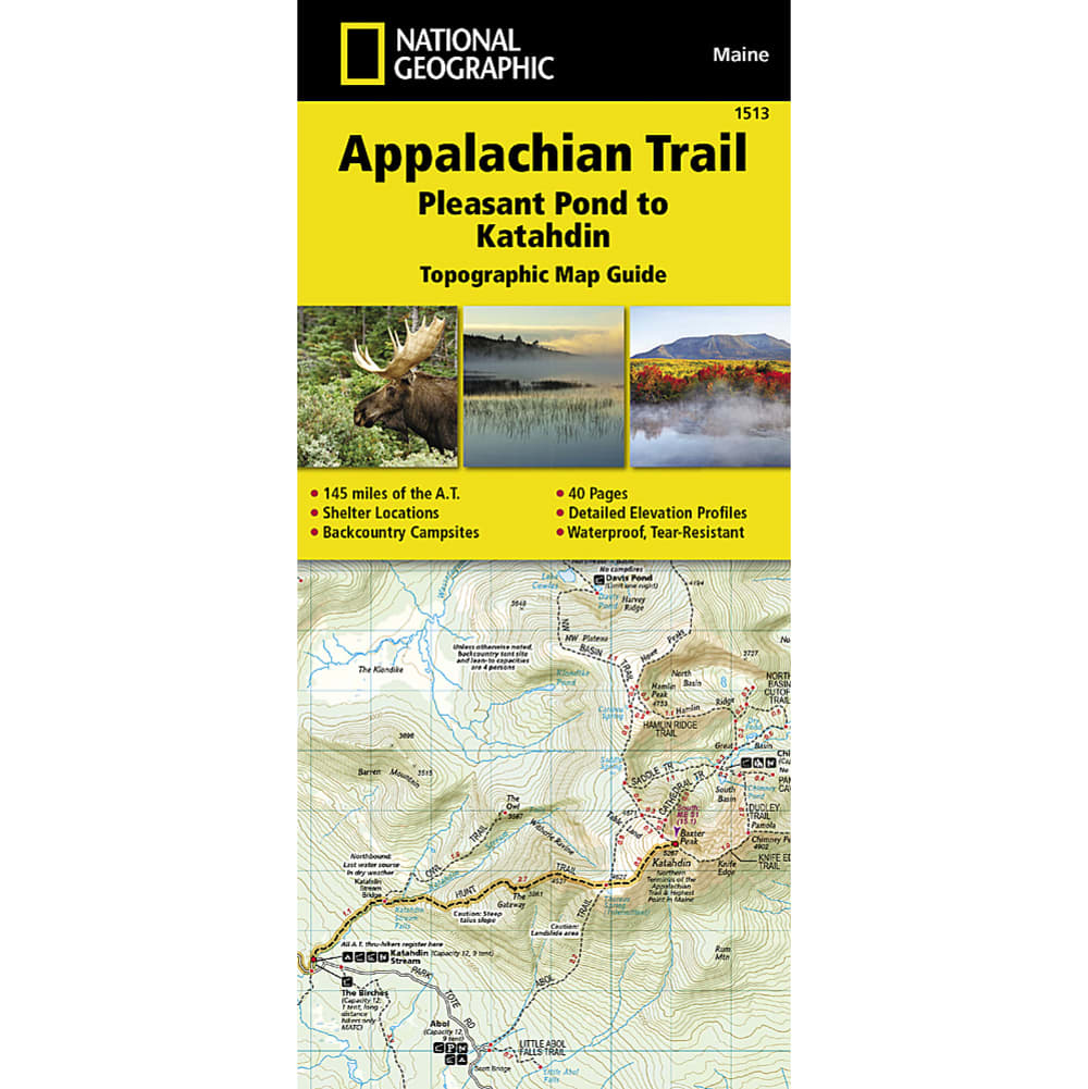
National Geographic Appalachian Trail, Mount Carlo To Pleasant Pond Topographic Map
Day-trippers And Thru-hikers Alike Will Be Glad They Brought A Map On The Appalachian Trail. Covering Some Of The Most Challenging And Rugged Terrain, This Map Covers Mount Carlo To Pleasant Pond, The Southern Maine Section Of The Trail. Printed On Waterproof Tear-resistant Paper. Full Utm Grid To Aid With Gps Navigation. 4 1/4 In. X 9 3/8 In. Folded. Scale 1:63,350. Includes Detailed Topographic Maps At A Detail Of 1 In. = 1 Mile. Each Page Is Centered On The Appalachian Trail And Overlaps Adjacent Pages. Trail Profile Shows Distance Between Shelters, Camping Areas, And Trail Access Points. Step By Step Visual Guide. Clearly Marked Trails For Hiking, Biking, Horseback Riding, Atv, And More. Color-coded Boundaries Of State Parks, National Recreation Areas, Wilderness Areas, Marine Sanctuaries, And Wildlife Refuges. Hundreds Of Points Of Interest, Including: Scenic Viewpoints, Campgrounds, Boat Launches, Swimming Areas, Fishing Access Points, And More.. Detailed Road Network. © 2014.
Add to Shopping List
National Geographic Appalachian Trail, Mount Carlo To Pleasant Pond Topographic Map Guide Prices
The best price found is $14.95 from Eastern Mountain Sports.
| Where to buy | Price | Visit Store |
|---|---|---|
|
|
$14.95 | Visit Store |